

Photos: Red River flooding from the air
Go Deeper.
Create an account or log in to save stories.
Like this?
Thanks for liking this story! We have added it to a list of your favorite stories.
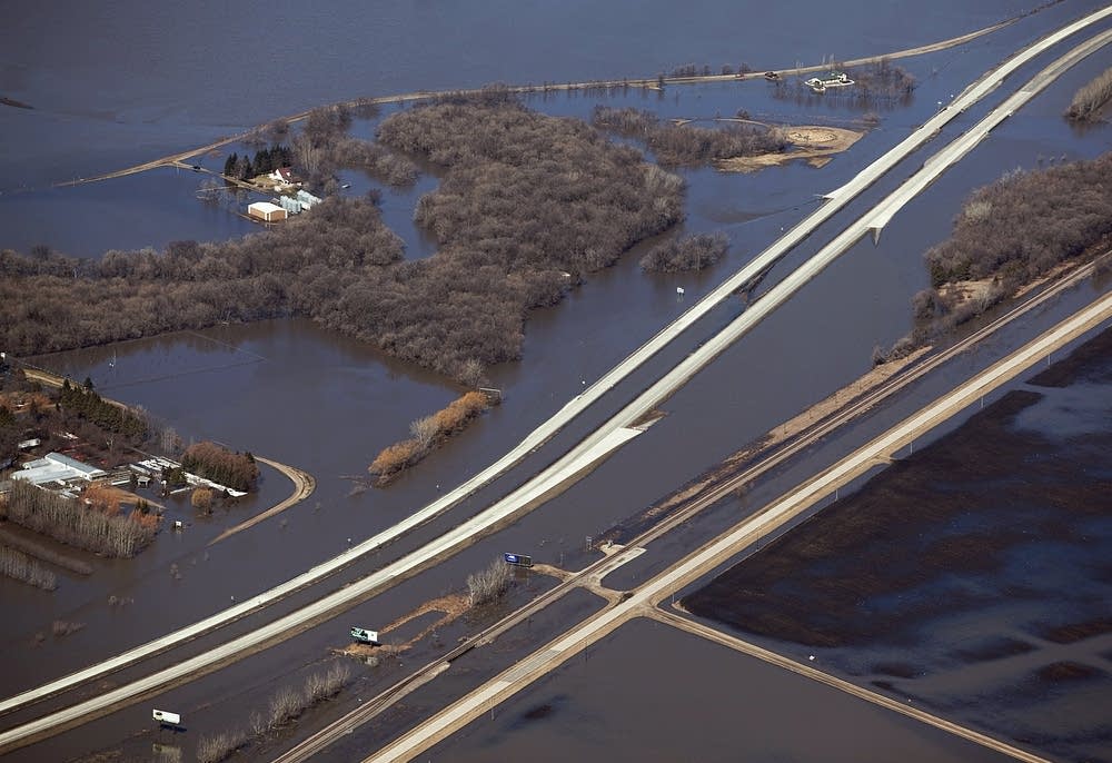
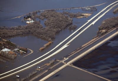
The water has reached record levels north of Fargo-Moorhead and dozens of roads are under water making travel nearly impossible. MPR News sent photojournalist Ann Arbor Miller to get an aerial view of the flooding in the Red River Valley.


Turn Up Your Support
MPR News helps you turn down the noise and build shared understanding. Turn up your support for this public resource and keep trusted journalism accessible to all.
Dear reader,
The trustworthy and factual news you find here at MPR News relies on the generosity of readers like you.
Your donation ensures that our journalism remains available to all, connecting communities and facilitating better conversations for everyone.
Will you make a gift today to help keep this trusted new source accessible to all?
