Showers spread east; dry skies this afternoon
Go Deeper.
Create an account or log in to save stories.
Like this?
Thanks for liking this story! We have added it to a list of your favorite stories.
Another bout of heavy rain fell overnight in southern Minnesota and into western Wisconsin. Flash flood warnings were issued for Albert Lea, Minn., where a couple of inches of rain accumulated in the late night hours.
Radar estimated rainfall last night ended at 7:04 a.m.

The infrared satellite image painted the colder cloud tops from the thunderstorms churning through the region early this morning.

Heavy rain was shifting east through Wisconsin at daybreak.
Turn Up Your Support
MPR News helps you turn down the noise and build shared understanding. Turn up your support for this public resource and keep trusted journalism accessible to all.

We expect generally dry skies with rather comfortable temperatures this afternoon. Soaking rains will spread into the Great Lakes.

A rather uneventful day appears to be shaping up on Wednesday before another system arrives bringing more showers and thunderstorms for mainly eastern Minnesota and Wisconsin.

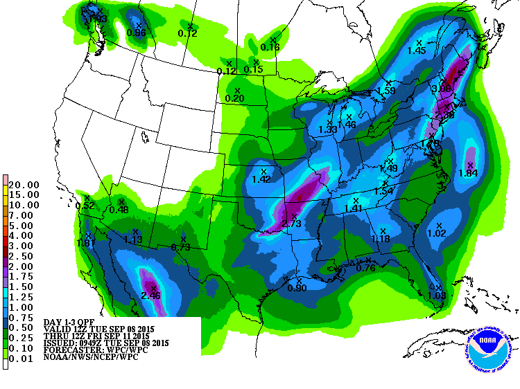
Potential rainfall from today through Thursday night. It looks to be an active weather week in the eastern half of the nation.

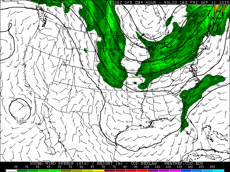
As the jet stream becomes more northwest to southeast over our neck of the woods, we will awake to more autumn-like temperatures on Friday morning.

Low temperatures expected on Friday morning.

In case you missed it, flooding rains fell in western Wisconsin on Sunday evening. Some locations tallied more than three inches of rainfall. Showers this morning added to the woes.


