Heat and humidity are arriving; storms possible Tuesday-Wednesday
Go Deeper.
Create an account or log in to save stories.
Like this?
Thanks for liking this story! We have added it to a list of your favorite stories.
The main feature on the Monday morning weather map is widespread fog. While the fog has been patchy and thin in the Twin Cities, thick fog blankets large areas mostly to the north and east.
A dense fog advisory is in effect until 10 a.m. from just north of the Twin Cities area up to Hibbing, Minn., and the North Shore, the southeastern corner of Minnesota and across nearly all of Wisconsin.

July-like heat and humidity
The big weather story for the next couple days will be heat and increasing humidity.
The warm up began in earnest on Sunday when the Twin Cities had an official high temperature of 82 degrees. That was our first temperature of 80 or warmer in 26 days, since back on Aug. 20.
Turn Up Your Support
MPR News helps you turn down the noise and build shared understanding. Turn up your support for this public resource and keep trusted journalism accessible to all.
Monday afternoon will be toasty across most of Minnesota. Highs will be in the 80s for all of the state except the usual cooler areas near Lake Superior. The Twin Cities should warm to about 85 with a southeast breeze picking up to 15 to 25 mph in the afternoon.
The mugginess factor will certainly kick in as the day progresses. Dew points will be climbing well into the 60s for eastern Minnesota and the oppressive low 70s in western parts of the state.

Tropical Tuesday
Tuesday will be another hot one and even more humid for eastern Minnesota as the tropical dew points in the low 70s shift eastward into eastern sections of the state.
Thunderstorms
Isolated to scattered non-severe thunderstorms are likely to pop up during Tuesday’s heat and humidity.
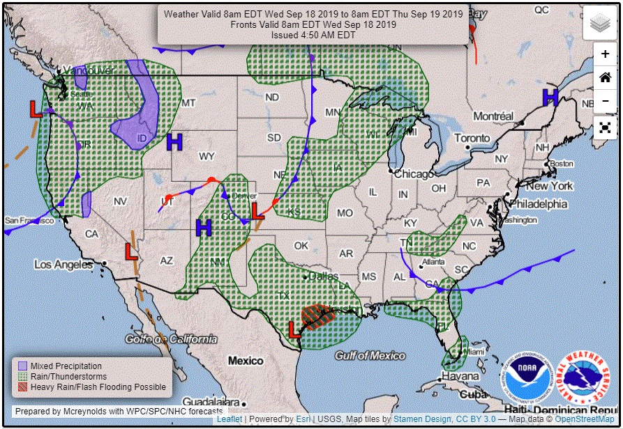
A stronger weather disturbance aloft will deepen a low-pressure center to our west by late on Tuesday. Strong to possibly severe thunderstorms are likely for Tuesday night into Wednesday.
The Storm Prediction Center has posted a marginal risk of severe weather for mainly Tuesday night (the “Day 2” convective outlook is for the 24 hours ending at 7 a.m. on Wednesday) in western Minnesota.

Thermal relief beginning midweek
An advancing cold front should begin clearing out the heat and humidity on Wednesday.

Temperatures will settle down closer to normal by about Saturday.
Unsettled
Several features will keep our weather rather unsettled through the end of the week. Periods of showers and storms could pop up around the state at times from Wednesday night well into the weekend.
Humberto update
Hurricane Humberto has been lounging north of the Bahamas and well east of Florida. Humberto is forecast to accelerate as it tracks toward the east-northeast and should strengthen as it crosses the warm waters of the Gulf Stream.
The forecast track and cone of uncertainty of the storm’s eye indicate that Humberto might pass rather close to Bermuda on Thursday.


