Light snow through Friday, then heavy snow Sunday
Northwestern Minnesota sees dangerous windchills overnight
Go Deeper.
Create an account or log in to save stories.
Like this?
Thanks for liking this story! We have added it to a list of your favorite stories.
Light snow is making its way across Minnesota and also dropping temperatures for parts of the state. A far more potent snowstorm targets southern Minnesota by Saturday night.
Forecast through Friday
A weak area of low pressure and cold front are moving across Minnesota, bringing isolated areas of flurries and light snow. As of early Thursday evening, the system already switched the wind in northwestern Minnesota to a colder, northerly wind. That colder air spreading in will cause a large contrast in overnight temperatures across the state, from negative teens northwest to near 20 southeast.

Adding in the wind, our northwestern counties along the Red River Valley could “feel like” minus 35 overnight and are under a windchill advisory from midnight to 10 a.m. Friday.

By Friday, the cooler air becomes more widespread, with all but southeastern Minnesota seeing single digits and teens.
Turn Up Your Support
MPR News helps you turn down the noise and build shared understanding. Turn up your support for this public resource and keep trusted journalism accessible to all.

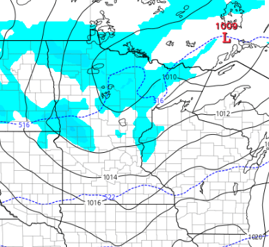
Like the cold, the snow continues to spread across the state, and by late Thursday night most of the state has a chance of seeing a little snow.

Snow then clears out through the day Friday. Most of the state will see snow totals ranging from 0 to under one inch. The Arrowhead could see slightly higher amounts due to lake enhancement.

Sunday’s snowstorm
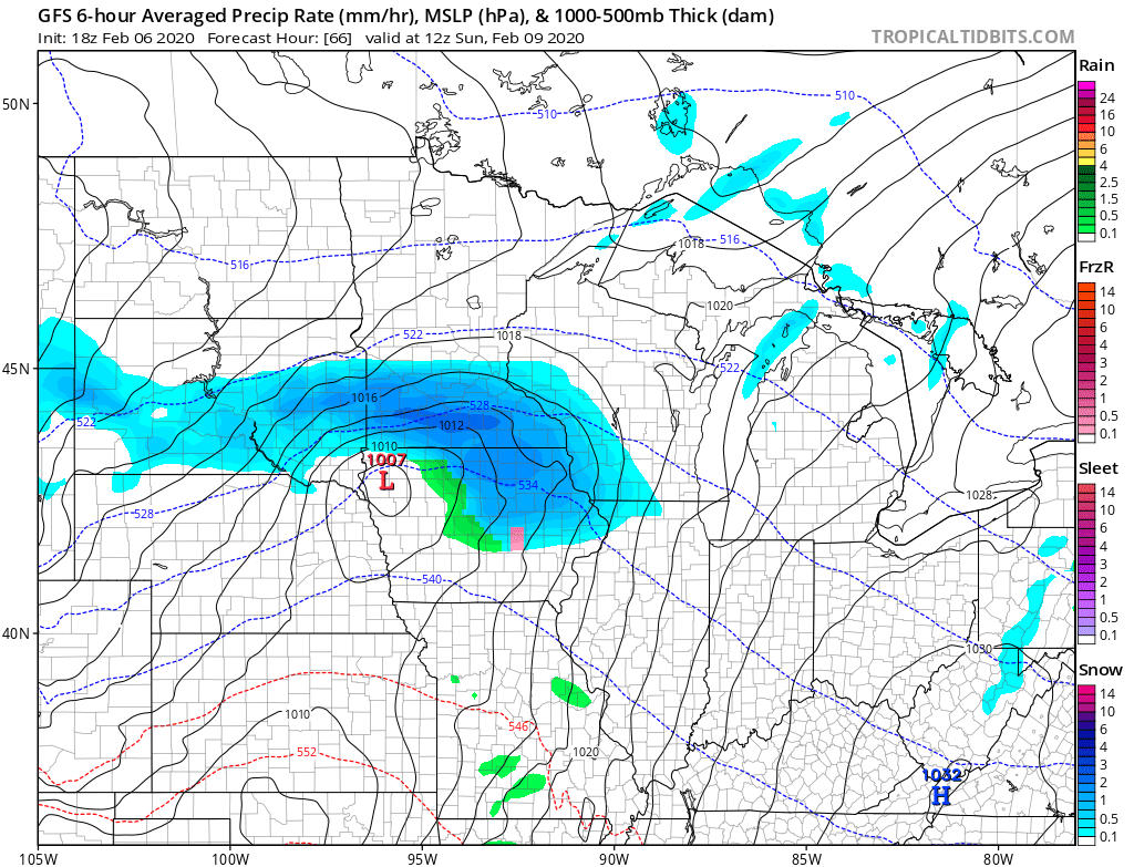
Saturday remains mainly quiet before a strong winter storm targets the state. By Saturday evening, snow moves into southwestern Minnesota and spreads across southern Minnesota by early Sunday morning.

Parts of northern Minnesota may also see some light snow or flurries, being on the northern fringe of the storm. It currently looks like the center of the storm could track near our Iowa border. That places the heaviest snow, which could be six inches or more, in a corridor along the Minnesota River Valley, then extending toward Albert Lea, Minn., and Rochester, Minn.

However, any slight shift in the storm track could shift who sees the heaviest snow. All southern Minnesota, including the Twin Cities, needs to be prepared for accumulating snow and travel disruptions Sunday. Winds will also increase on Sunday, especially for southwestern Minnesota, so blowing snow could further reduce visibility at times. The storm moves through relatively fast though, clearing out by Sunday evening.
Northern Minnesota may escape the snow on Sunday but is likely to see another round of light snow Monday.

Currently it looks like most places will see under one inch of snow with that.
Temperatures through the middle of next week remain fairly typical for early February. Here is the Twin Cities temperature trend through Tuesday, with highs in red and lows in blue:

Programming note
You can hear my live weather updates on Minnesota Public Radio at 7:48 a.m. Monday through Friday morning.


