After a quiet weekend of weather, an unsettled week is coming
Go Deeper.
Create an account or log in to save stories.
Like this?
Thanks for liking this story! We have added it to a list of your favorite stories.
Clouds have been increasing from the west Sunday as a weak weather system approaches northern Minnesota. Light snow is breaking out in North Dakota and parts of northwestern Minnesota, including around Thief River Falls and Red Lake.

Accumulating snow north for Monday
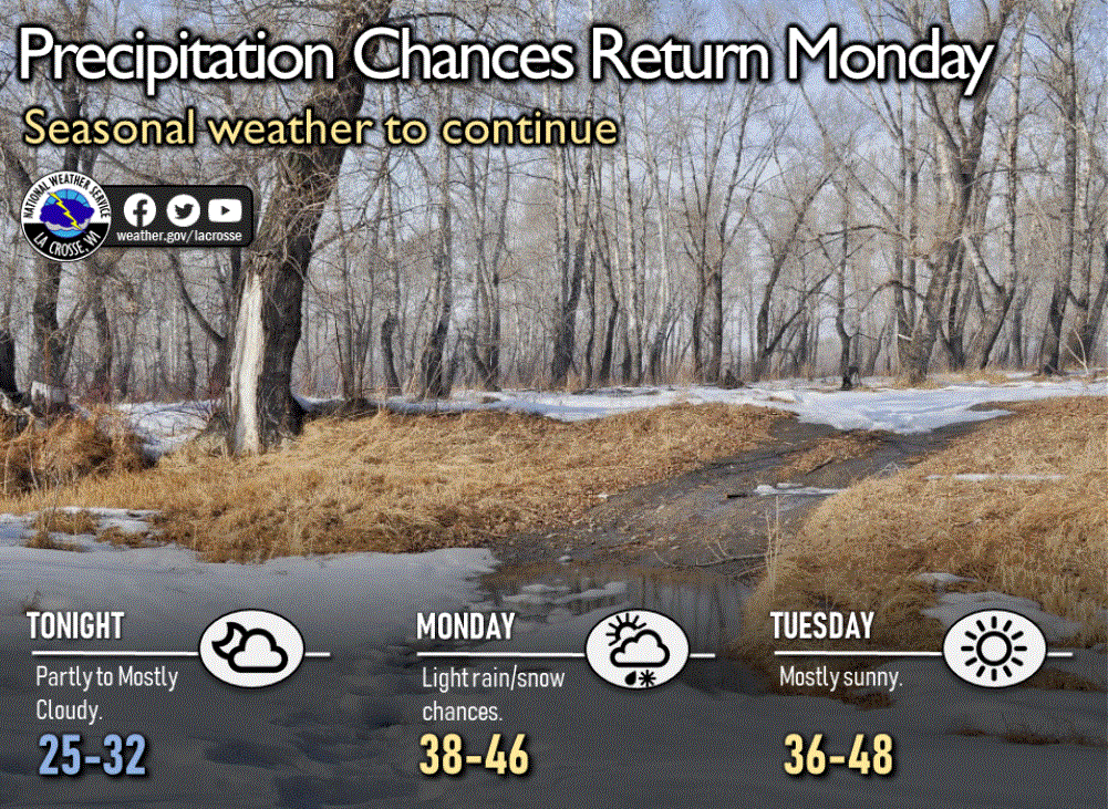
Expect light snow to track eastward across northern Minnesota Sunday night into Monday. Accumulating snow is likely north of a line from around Detroit Lakes to Hinckley. Heaviest amounts will probably be only in the range of 1 to 3 inches.
Farther south, areas of light rain, drizzle and light snow are likely to build southeastward across parts of central and southern Minnesota overnight and on Monday.
The Twin Cities area is likely to see a little rain/drizzle/snow mix early Monday morning that will change to all light rain or drizzle later in the morning.
Turn Up Your Support
MPR News helps you turn down the noise and build shared understanding. Turn up your support for this public resource and keep trusted journalism accessible to all.
High temperatures on Monday will be from the low 30s to the low 40s for most of the state, but just in the chilly 20s in the northwest. The Twin Cities should have a high near 44 degrees.

Sunny Tuesday
Look for lots of bright, cheery sunshine on Tuesday. High temperatures will vary from the 20s in the far north to the low 40s in the south.
Weather ripple for Wednesday
Wednesday will see another weak weather disturbance cross our state. Light snow will fall across northern Minnesota while areas farther south get some rain and maybe a bit of snow in places.
Possible storm about Thursday
A storm system forming west of California will track into the desert southwest then northeast to Colorado, where it will intensify. Forecast models predict this storm to arrive in the Minnesota area Wednesday night or Thursday with the potential for notable snowfall amounts.
A fairly narrow band of rather heavy snow is possible somewhere in Minnesota while mild March air builds into the south side of the storm to produce rain.
Significant rain farther south this week
The five-day precipitation outlook through 7 p.m. Friday forecasts widespread heavy rainfalls from Texas to Pennsylvania. Some locations could pick up about 3 inches of rain.


