Summery Tuesday; smoky skies from western wildfires continue this week
Cold front trims temperatures starting Wednesday.

Go Deeper.
Create an account or log in to save stories.
Like this?
Thanks for liking this story! We have added it to a list of your favorite stories.
Our balmy summer breeze continues through Tuesday.
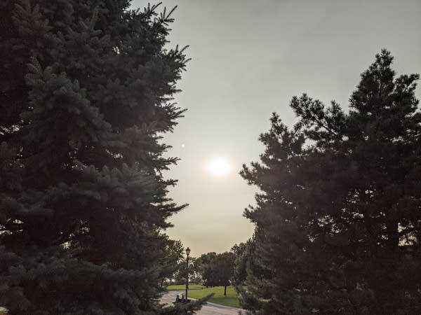
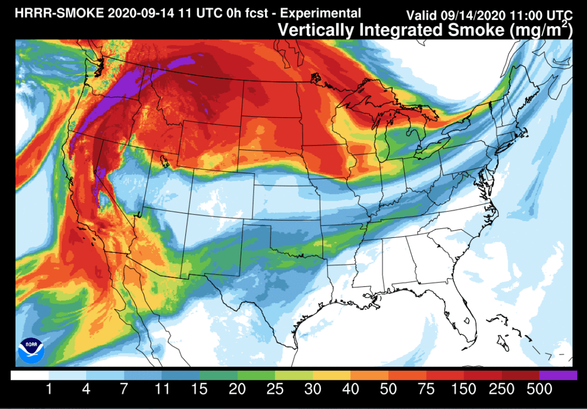
But our trademark blue Minnesota September sky is a whiter shade of pale this week. Massive smoke plumes from nearly a hundred western wildfires now stretch from coast to coast across the U.S. Some of the thickest smoke plumes aloft blew right over Minnesota Monday.

The mid and upper-level wind trajectory this week blows from the fire zones across the northern U.S. into Minnesota.

Expect to see more white instead of blue sky days and faded sunsets this week.
Turn Up Your Support
MPR News helps you turn down the noise and build shared understanding. Turn up your support for this public resource and keep trusted journalism accessible to all.
Summery Tuesday
Tuesday brings warm breezes to much of Minnesota once again. Highs reach the 80s across most of southern Minnesota.

Cold front Wednesday
Colder air surges south once again starting Wednesday. Highs in the chilly 50s cover most of Minnesota Thursday and Friday.

Freezing temperatures will occur once again late this week across northern Minnesota.

Highs will reach the 70s again this weekend across southern Minnesota.


