Another shot of (light) snow ahead for Sunday
Twin Cities rides the northern edge of Sunday's snow system.

Go Deeper.
Create an account or log in to save stories.
Like this?
Thanks for liking this story! We have added it to a list of your favorite stories.
The weekend is here.
Saturday looks quiet, if unseasonably chilly across Minnesota. Sunday brings the next October snow system to southern Minnesota.
Sunday snow zone: Southern Minnesota
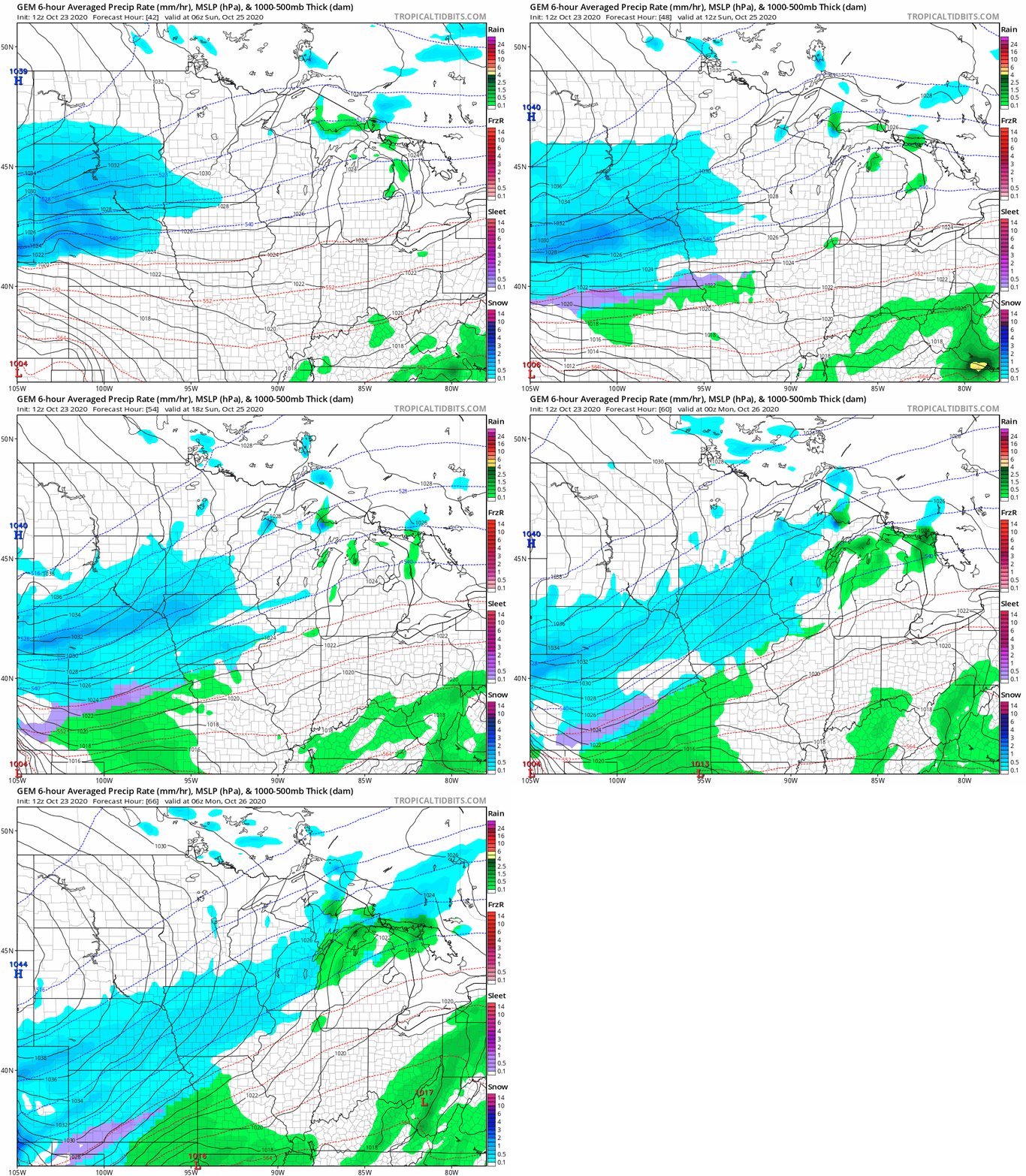
At least we’re spreading the snow around this week. A band of snow develops across southwest Minnesota late Saturday night. The core of Sunday’s accumulating snowfall favors southwest Minnesota and the I-90 corridor. The system likely just grazes the Twin Cities with lighter snowfall.
Here’s the Canadian model solution.
Turn Up Your Support
MPR News helps you turn down the noise and build shared understanding. Turn up your support for this public resource and keep trusted journalism accessible to all.

Plowable southwest
Sunday’s system has the potential to drop a few inches of snow in southwest Minnesota. Most of the models I trust suggest around an inch or so for the Twin Cities. Highest totals favor the south metro.
Here’s the Canadian model snowfall output.

Here’s the Twin Cities National Weather Service snowfall projection.

50s ahead?
The upper air forecast maps suggest a milder Pacific airflow as we move into early November.

The medium-range forecast models suggest more 50s ahead for Minnesota the first week in November.

The early indications are election day weather may be favorably dry and mild across most of the U.S.
Stay tuned.


