Meteorological winter report card: Colder and snowier than normal
Minnesota's La Niña winter delivered as expected

Go Deeper.
Create an account or log in to save stories.
Like this?
Thanks for liking this story! We have added it to a list of your favorite stories.
Happy meteorological spring Minnesota! Our latest adventure through meteorological winter ends at midnight Tuesday.
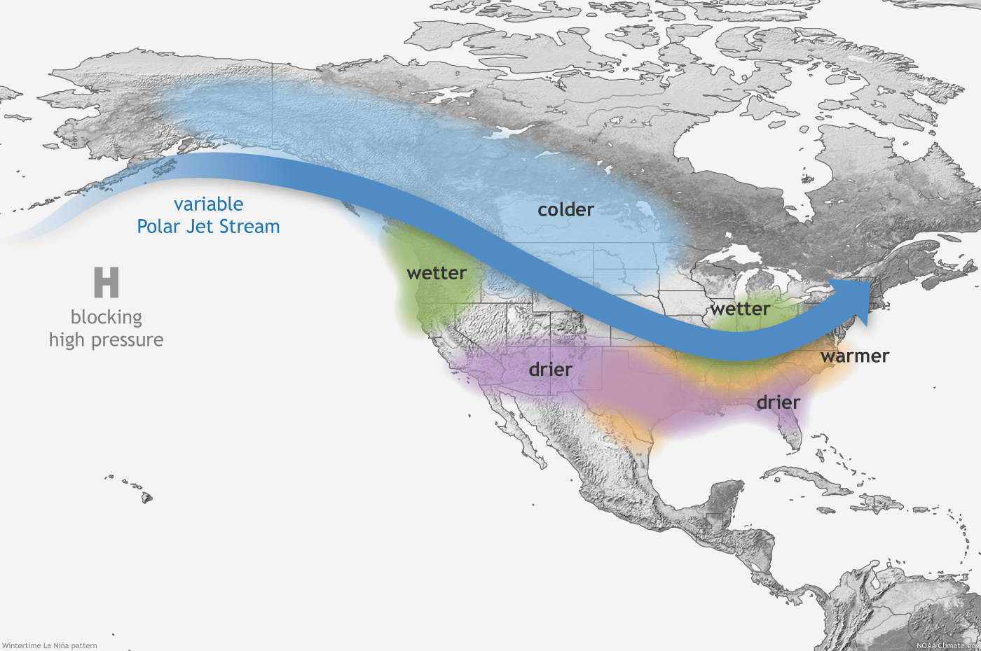
Forecasts of a textbook La Niña winter have largely verified across most of Minnesota.
In the Twin Cities, it’s been a colder and slightly snowier than average winter. After a mild December (+2.5 degrees), the Twin Cities and most of Minnesota logged significantly colder than average months in January (-5.5 degrees) and February. (-6.6 degrees)
Above-average snowfall
Snowfall is also running above average in the Twin Cities this winter. That’s true in most, but not all of Minnesota. Southwest Minnesota has recorded snowfall around a foot below average to date. And it’s been a snow bonanza for the North Shore ridges. Grand Marais Airport has recorded about 80 inches of snow this winter!
Turn Up Your Support
MPR News helps you turn down the noise and build shared understanding. Turn up your support for this public resource and keep trusted journalism accessible to all.
Here are some select snowfall totals compared to the average so far this winter season.
Twin Cities: 43.5 inches (+4.0”)
St. Cloud: 40.5 inches (+5.5”)
Duluth: 68.0 inches (+1.5”)
International Falls: 59.5 inches (+1.6”)
Grand Marais: 79.7 inches (+38.1”)
Fargo, N.D.: 48.2 inches (+6.1”)
Rochester: 28.8 inches (-11.2”)
Pipestone: 16.5 inches (-12.7”)
Cold snowy March?
March has been lamblike in Minnesota the past two years. Temperatures in the Twin Cities were 7.2 degrees warmer than average last March. March 2020 was 4.4 degrees warmer than average in the Twin Cities.
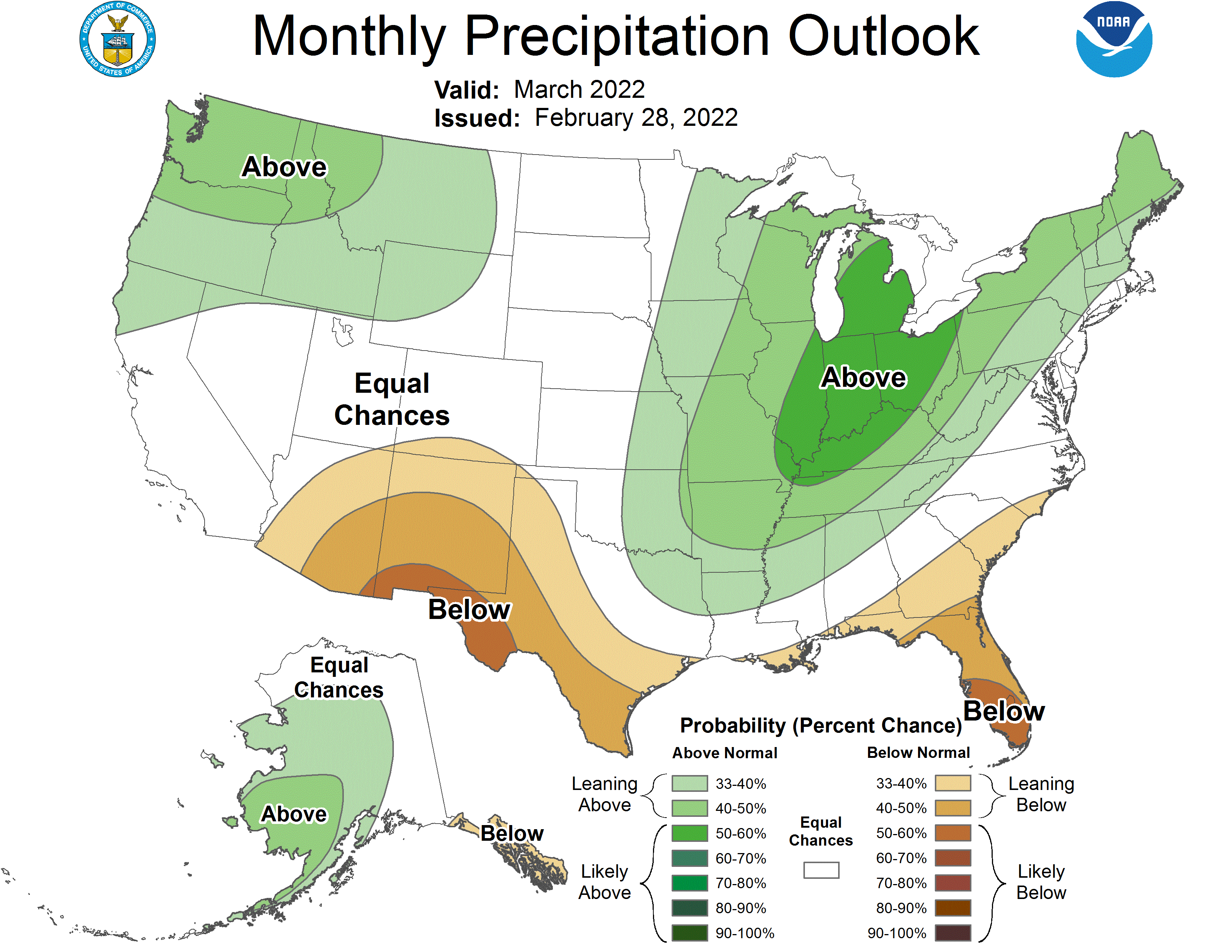
NOAA’s outlooks for March favor a colder and possibly snowier than average month this year.


Stay tuned.


