Mild weather continues; wintry mix possible late Wednesday, Thursday
Another storm system looks to develop early next week

Go Deeper.
Create an account or log in to save stories.
Like this?
Thanks for liking this story! We have added it to a list of your favorite stories.
Wednesday will be mild with 30s nearly statewide. The next round of moisture will be a wintry mix of freezing drizzle, light rain and snow late Wednesday into Thursday evening.
Very warm air overhead
The air mass over Minnesota is quite mild for the time of year. While the surface temperatures are not reaching record levels in the 40s, the air aloft, at about 3,400 feet above the ground is in the 99th percentile.

Meteorologists use those temperatures aloft in forecasting surface temperatures. As the sun warms the ground, the air above it is warmed and that layer above it, etc. until the air mixes to a depth that can range from a few hundred feet to as much as 6,000 to 7,000 feet in the summer with sunny skies and breezy conditions.
A low sun angle and snow cover, along with cloud cover, limits this mixing depth in winter. While we don’t measure temperature records aloft, the readings aloft would likely be close to record levels. With the clouds and snow cover, we’re settling for highs in the 30s which are still well above normal.
Turn Up Your Support
MPR News helps you turn down the noise and build shared understanding. Turn up your support for this public resource and keep trusted journalism accessible to all.

A warmer, moist air mass moving over colder surface air locks us into cloud cover this time of year and can create drizzle. We’ll see that possibility of patchy drizzle and even freezing drizzle where surface temperatures are below freezing Wednesday into early Thursday.

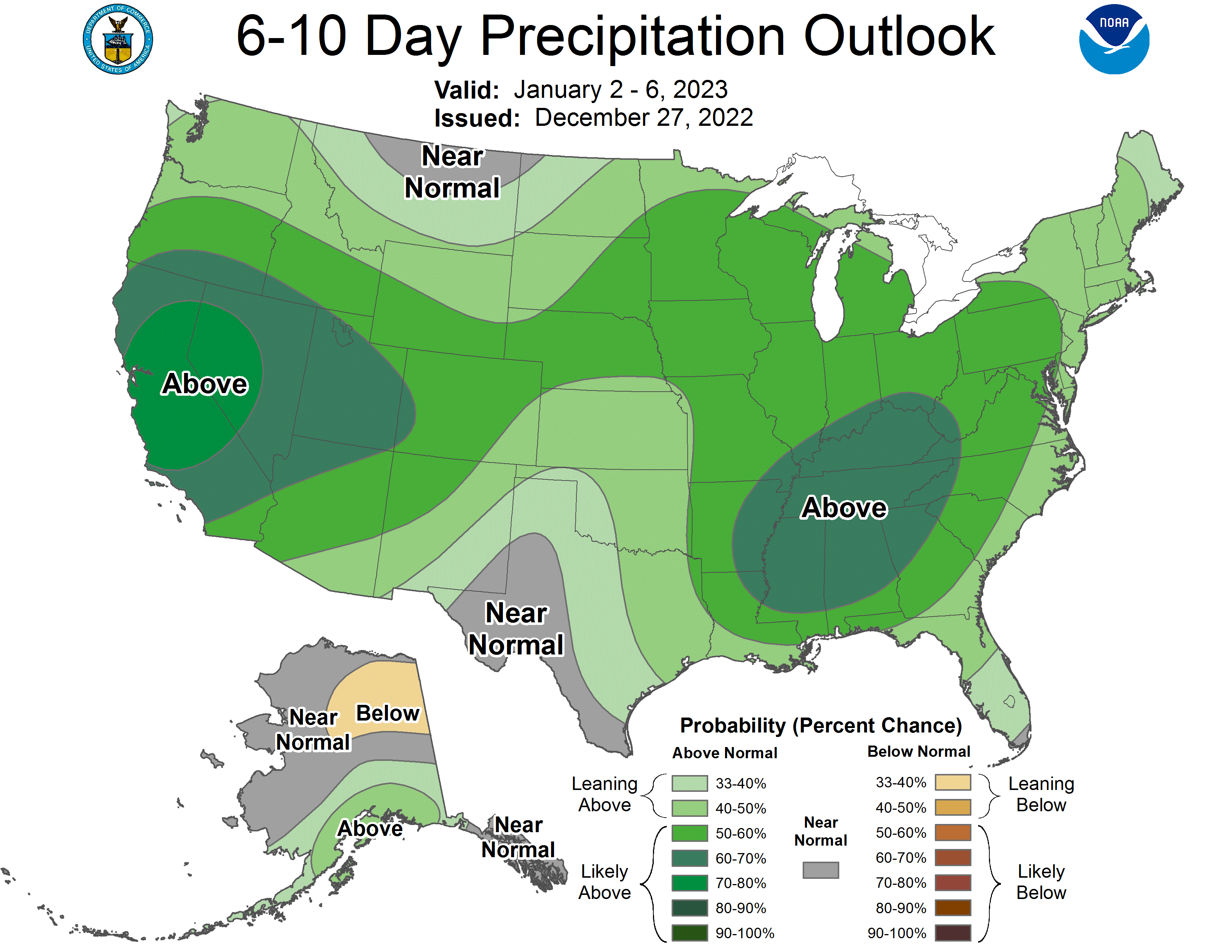
An active pattern remains in place
Our next round of more significant precipitation develops as a mix of light freezing rain early Thursday with a mix of rain and snow showers in the afternoon into the overnight hours Thursday night.

It will be a narrow swath of snowfall that develops.

While most of us will see under 1 inch, some models are hinting at a possible narrow swath of 2 or 3 inches for some places in a southwest-to-northeast axis across the state.

Another storm system looks to develop early next week with rain and snow possible Monday into Tuesday.

There are quite different model tracks at this point that will be the difference between mostly rain or mostly snow for southern Minnesota.

While the pattern has switched to a much milder one, it’s certainly turning out to be no less active.


