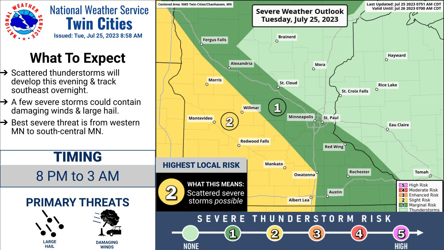
Severe storm waves with hail and damaging winds likely overnight
Possible bow echo damaging wind signatures on forecast models

Like this?
Log in to share your opinion with MPR News and add it to your profile.
Like this?
Thanks for liking this story! We have added it to a list of your favorite stories.
Fire up the NOAA weather radio and keep one eye on the Doppler Tuesday night. The short-range forecast models I trust the most strongly suggest a cluster of severe storms will cross Minnesota from northwest to southeast overnight.
As of this post time, the National Oceanic and Atmospheric Administration’s Storm Prediction Center says there’s a 60 percent chance for a severe storm watch for the Red River Valley and northwestern Minnesota Tuesday evening.
Bow echo overnight?
As meteorologists, we pay special attention to thunderstorm geometry. When lines of thunderstorm cells take on a bow shape, that’s a likely signal that damaging winds are occurring along the leading edge of the storms.
These bow echoes can produce widespread, long-track wind damage patterns. NOAA’s NAM 3 km model suggests possible bow echoes across central and southern Minnesota overnight into Wednesday.
Support the News you Need
Gifts from individuals keep MPR News accessible to all - free of paywalls and barriers.
The hourly forecast loop at the top of this post runs between 9 p.m. and midnight. See the arc-shaped cells racing southeastward? These areas can produce damaging winds.
NOAA’s High-Resolution Rapid Refresh model also brings multiple strong to severe storm waves into the greater Twin Cities area sometime between midnight through about 5 a.m. or 6 a.m.

Storms may also pack large damaging hail overnight.

So stay alert for possible severe weather warnings across western Minnesota Tuesday evening moving eastward into the Twin Cities area most likely after midnight.


