

2nd longest dry streak on record ends with snow Thursday
Weather maps look more like winter than the first days of spring
Go Deeper.
Create an account or log in to save stories.
Like this?
Thanks for liking this story! We have added it to a list of your favorite stories.
Remember that Valentine’s Day snowfall?
Yeah, I didn’t either.
But it turns out that system was at the front end of the second longest dry streak on record in the Twin Cities. The Twin Cities hasn’t recorded any measurable precipitation since then. If we stay dry as forecast through Wednesday, that will make 34 days without a measurable raindrop or snowflake in the Twin Cities.
Much-needed moisture ahead
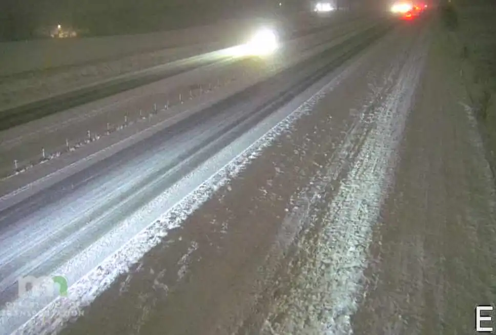
I wrote in detail about the two likely storm systems moving toward Minnesota Thursday and again Sunday into Monday. You can read details on current snowfall projections here.
Support Local News
When breaking news happens, MPR News provides the context you need. Help us meet the significant demands of these newsgathering efforts.
The good news is if the forecast models’ projections of significant rain or snow pan out, we really need that moisture.
The National Oceanic and Atmospheric Administration's Global Forecast System model lays out over an inch of liquid equivalent for most of southern Minnesota:

The European model cranks out over 2 inches in many areas.

So even though the precipitation won’t make it into the updated U.S. Drought Monitor update this week, it should be helpful for soils, lakes, and rivers. It should also help reduce our unusually high fire danger.
Astronomical spring begins this week. But the weather maps look more like winter for a change.

Stay tuned.