

Ice-outs coming about 2 weeks early; gradually milder temps this week
Many Twin Cities lakes are now ice-free
Go Deeper.
Create an account or log in to save stories.
Like this?
Thanks for liking this story! We have added it to a list of your favorite stories.
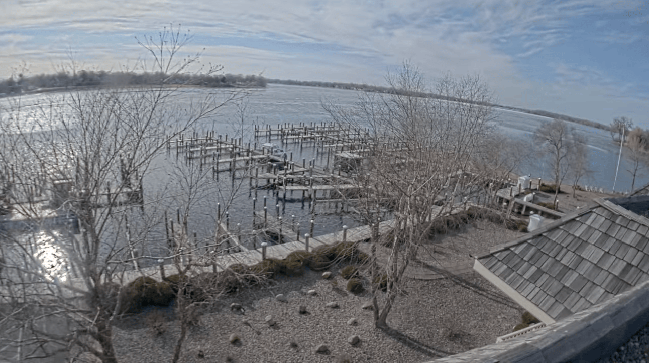
Spring has barely sprung across Minnesota. But ice-out is progressing rapidly northward.
Many lakes from the Twin Cities southward are already ice-free, and they’re losing their annual ice cover about two weeks earlier than average.

Here’s a list of select lakes now ice-free in southern Minnesota and the Twin Cities:
Iowa Lake, 2025 ice-out: March 14; average ice-out: March 23 (11 days early)
Cannon Lake, 2025 ice-out: March 15; average ice-out: March 30 (2 weeks early)
Albert Lea Lake, 2025 ice-out: March 17; average ice-out: March 31 (2 weeks early)
Lake Minnewashta, 2025 ice-out: March 21; average ice-out: April 6 (2 weeks early)
Gervais Lake, 2025 ice-out: March 22; average ice-out: April 3 (11 days early)
Medicine Lake, 2025 ice-out: March 23; average ice-out: April 10 (17 days early)
Our mild and windy March is the big reason ice is going out earlier than average this year. So far, March is running about 6 degrees warmer than normal in the Twin Cities and 10 degrees warmer than normal in western Minnesota.
Turn Up Your Support
MPR News helps you turn down the noise and build shared understanding. Turn up your support for this public resource and keep trusted journalism accessible to all.

The lack of snow cover across southern Minnesota is also speeding along ice-out as the sun works directly on the ice to warm the water blow the ice in the shallows.
Here’s a good description of how our Minnesota lakes melt in spring, via the Minnesota State Climatology Office:
Ed Swain, of the Minnesota Pollution Control Agency describes the process of freezing and thawing lakes.
In the late fall, the lake loses heat to the atmosphere, and then on a day or night when the wind is not blowing, ice forms. The ice gets thicker as long as the lake can continue to lose heat.
In most Januaries and Februaries, snow both reflects sunlight and insulates the lake. With a thick snow layer, the lake neither gains nor loses heat. The bottom sediment is actually heating the lake water slightly over the winter, from stored summer heat.
Around March, as the air warms and the sun gets more intense, the snow melts, allowing light to penetrate the ice. Because the ice acts like the glass in a greenhouse, the water beneath it begins to warm, and the ice begins to melt FROM THE BOTTOM.
When the ice thickness erodes to between 4 and 12 inches, it transforms into long vertical crystals called "candles." These conduct light even better, so the ice starts to look black, because it is not reflecting much sunlight.
Warming continues because the light energy is being transferred to the water below the ice. Meltwater fills in between the crystals, which begin breaking apart. The surface appears grayish as the ice reflects a bit more light than before.
The wind comes up, and breaks the surface apart. The candles will often be blown to one side of the lake, making a tinkling sound as they knock against one another, and piling up on the shore. In hours, a sparkling blue lake, once again!
Gradually milder this week
Other than a chance for a few sprinkles or showers Tuesday, our weather looks quiet through Thursday. Temperatures will gradually warm this week.

Highs by Thursday will make the 60s in much of the south.

A weather system moving through Friday and Saturday brings a chance for showers south, with more accumulating snow possible north.
You’re not done with the shovels just yet northern Minnesota!