Plummeting weekend, Superior stays warm, mid-week snow wave
We have a busy week ahead, a sharp contrast to this last week's warm and quiet stretch
Go Deeper.
Create an account or log in to save stories.
Like this?
Thanks for liking this story! We have added it to a list of your favorite stories.


We already broke the record high before 2 pm Friday. There is a mandatory trip outside for all Minnesotans able to make it outdoors Friday!
By Saturday and Sunday, temperatures will start to nose dive. While that cold air is actually the norm for late November, it will be shocking to the system. There is limited rain for now but we may get a hint of snow on Sunday and again next Tuesday into Wednesday. Thanksgiving will be crisp but perfectly fine for driving.
Weatherman’s waiver below
Are you looking for a note, allowing you to get outside before it gets too cold? Maybe a way out of the office? We cannot make promises, but if you show the boss this Updraft, hopefully he or she will let you get some warm sunshine before the temps crash. We have already bested the previous daily record for November 20th in the Cities; the prior record dates back to 1925, so it’s more than a century old!

Meanwhile, the rain is under-performing (which is what we expected, given the downwards trend all week) up in northern Minnesota Friday afternoon. Some cooler sprinkles are certainly possible across the northern one third of Minnesota Friday evening. There may also be a fleeting rain shower or two near the Cities and Hinckley/Rush City and the like around dawn Saturday. By far the best chance of some downpours is in the Driftless Area on Saturday.
Turn Up Your Support
MPR News helps you turn down the noise and build shared understanding. Turn up your support for this public resource and keep trusted journalism accessible to all.
The cold front will begin to whip up cold winds starting fairly early Saturday afternoon. You could go in somewhere to watch a hockey game or your favorite college football team on TV, then come out to a completely colder world!

Normally we would share the highs and lows across Minnesota right here in Updraft - but not today! This is an upside-down day, when it’s warmest early in the day. Just plan on wearing a coat by the end of Saturday, then that continues onwards for a long while.
A Superior intermission
Before we continue on through the colder forecast, we wanted to note how warm the western basin of Lake Superior is right now. While the average sea surface temperature of Lake Superior started 2026 off well below average, we are now considerably above average. In a few days, we could even top the 2016 average sea surface temperature; that’s been the strongest warm signal we’ve had in recent decades, probably the most widespread warmth on our records. Also, Lake Superior isn’t a ‘sea’ necessarily, but that is what the weather metric is called, so we will just stick with that.

Not only is the western basin well above average, we could see a substantial delay into winter for some pack ice to begin forming, considering how strong the El Niño setup is at the moment.

Cold but fairly calm
Sunday and Monday are demonstrably colder than we have been in quite some time. While this is completely normal and expected cold weather, it could be quite shocking. We are talking the potential of not breaking freezing across much of the North Star State on Monday and Tuesday.
A giant high pressure corridor set up shop over Minnesota for most of next workweek. We know a lot of you will be off for the holidays, and thankfully the weather is totally fine for driving travel regionally. AAA expects the Interstate 94 corridor between Minneapolis and Eau Claire to be one of the busiest stretches of highway across the country. There could be a considerable amount of sun glare in this stretch, but rain or widespread snow is unlikely.
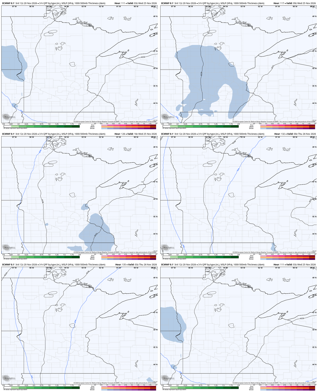
By later Tuesday and into Wednesday, we have a weak short wave rolling through. Basically this is a ‘kink’ in the atmosphere, rather than a full-on storm. It is possible we’d have a quick dusting of snowfall by early Wednesday. More than anything, this would be something pretty for folks to see, and a weather event to interrupt more records for the latest snow in Minnesota’s history (at least for many spots). This does not look to be much of an inclement setup for drivers or fliers, however.