

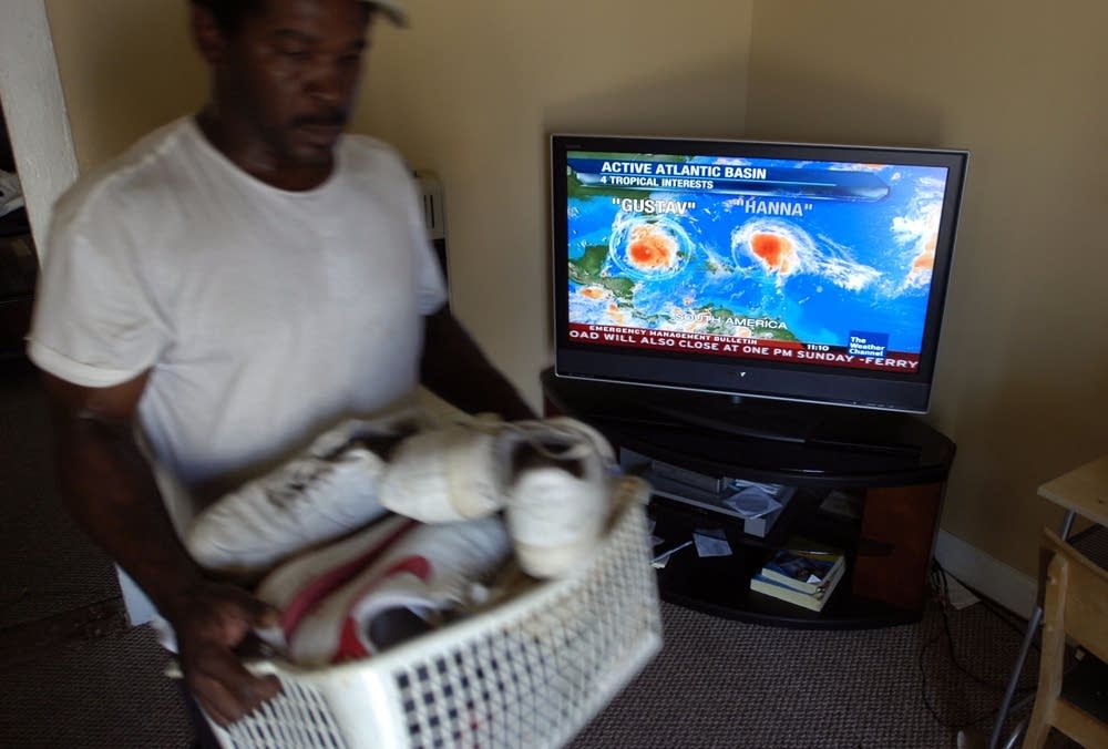
As Gustav nears, New Orleans becomes a ghost town
Go Deeper.
Create an account or log in to save stories.
Like this?
Thanks for liking this story! We have added it to a list of your favorite stories.

(AP) - With Hurricane Gustav just a day away from a possible monster hit on New Orleans, the mayor Sunday pleaded with the last of its residents to get out, imposed a dusk-to-dawn curfew on those who stay and warned looters they will be sent directly to prison.
The Big Easy increasingly took on the eeriness of a ghost town as thousands heeded an mandatory evacuation order, and police and National Guard troops clamped down on the city to prevent the kind of lawlessness and chaos that followed Katrina three years ago.
"Looters will go directly to jail. You will not get a pass this time," Mayor Ray Nagin said. "You will not have a temporary stay in the city. You will go directly to the Big House."
Most were taking him seriously. The state changed traffic flow so all highway lanes led out of New Orleans, and cars were packed bumper-to-bumper heading north.
Turn Up Your Support
MPR News helps you turn down the noise and build shared understanding. Turn up your support for this public resource and keep trusted journalism accessible to all.
Stores and restaurants shut down, hotels closed and windows were boarded up. Some who planned to stay changed their mind at the last second, not willing to risk the worst.
"I got scared at the last minute," said Ollie Hilson, 54, of Marrero, a town on the west bank of the Mississippi River.
She was waiting for a bus in a gymnasium where the New Orleans Hornets practice. She had a single plastic grocery bag with a change of clothes and a few personal belongings, and waited with her two nieces and their four children, all under the age of 3.
"I was worried about the kids. We just couldn't stay."
"Looters will go directly to jail. You will not get a pass this time. You will not have a temporary stay in the city. You will go directly to the Big House."
Nagin has used stark language to get his message across to residents, calling Gustav the "mother of all storms." Emergency officials have repeatedly warned that those who stay are on their own, and there will be no shelter of refuge like in Katrina, when thousands waited helplessly for rescue in a squalid Superdome.
Though Nagin's warnings are more severe than what forecasters predict, it was unmistakable that Gustav posed a major threat to partially rebuilt New Orleans. The storm has already killed more than 80 people on its path through the Caribbean.
Barreling toward the Gulf Coast with frightening strength and size, Gustav was wavering between a Category 3 and 4 hurricane with winds extending out 50 miles and tropical storm force winds as far as 200 miles. The comparisons to Katrina come easily.
Both are extraordinarily large storms. At times Katrina, one of the five deadliest U.S. storms, stretched its tropical storm-force winds out about 200 miles from its center. Hurricane force winds extended about 90 miles.
Both Gustav and Katrina intensified rapidly in the Gulf of Mexico, but Katrina intensified after making landfall in Florida while Gustav hit Cuba first. Forecasters say Gustav also is moving more quickly than Katrina.
"(Gustav) is a large system similar to Katrina. The difference, at this moment, is that it's asymmetric. It doesn't have a uniform coverage like Katrina," said Chris Sisko, a meteorologist for the National Hurricane Center.
President Bush canceled his appearance at the Republican National Convention and will instead travel to Texas to meet with emergency response personnel preparing for Gustav.
Federal authorities, faulted for a sluggish and inadequate response to Hurricane Katrina, planned to have an on-the-ground presence. Homeland Security Secretary Michael Chertoff was headed to the region Sunday and planned to stay for the duration of the storm.
Bush said he hoped to travel to Louisiana when conditions permit.
"The Army Corps of Engineers informs me that while the levees are stronger than they've ever been, people across the Gulf Coast, especially in New Orleans, need to understand that in a storm of this size there are serious risks of significant flooding," Bush said at FEMA headquarters. "My message to the people of the Gulf Coast is: This storm is dangerous."
The storm could bring a storm surge of up to 20 feet to the coast and rainfall totals of up to 15 inches.
At 11 a.m. EDT Sunday, the National Hurricane Center said Gustav was a Category 3 storm centered about 325 miles southeast of the mouth of the Mississippi River and moving northwest near 17 mph.
A hurricane warning was in effect for more than 500 miles of the Gulf Coast from Cameron, La., near the Texas border to the Alabama-Florida state line. Alabama Gov. Bob Riley issued a mandatory evacuation order for some coastal areas of Mobile and Baldwin counties.
Residents in flood-prone southeast Texas fled, too. Sabine Pass a port city most recently battered three years ago by Hurricane Rita, was among the first communities ordered to leave. Port Arthur, Texas, a refinery town of about 57,000 also badly damaged during Rita, was virtually abandoned.
In New Orleans, the last bus carrying residents without a way to leave on their own would depart at 3 p.m. Sunday. Clouds were already rolling in, and the skies were beginning to darken. Rain could begin falling as early as Sunday night.
Melissa Lee, who lives in Pearl River, a town near the boundary of Mississippi and Louisiana, was driving away to as far as she could make it Sunday. Before she left, she heard neighbors chopping down trees with chain saws, trying to ensure the tall pines that surrounded their homes wouldn't come crashing down.
"I sent my son out with a camera and said, 'Go take pictures of our backyard. Because it's going to look different when we get back.'"
(Copyright 2008 by The Associated Press. All Rights Reserved.)

Dear reader,
Political debates with family or friends can get heated. But what if there was a way to handle them better?
You can learn how to have civil political conversations with our new e-book!
Download our free e-book, Talking Sense: Have Hard Political Conversations, Better, and learn how to talk without the tension.

