

Evening snow burst: Area of accumulating snow expands
Winter weather advisories expand into Twin Cities. 2" to 4" likely
Go Deeper.
Create an account or log in to save stories.
Like this?
Thanks for liking this story! We have added it to a list of your favorite stories.
Talk about an evolving weather situation.
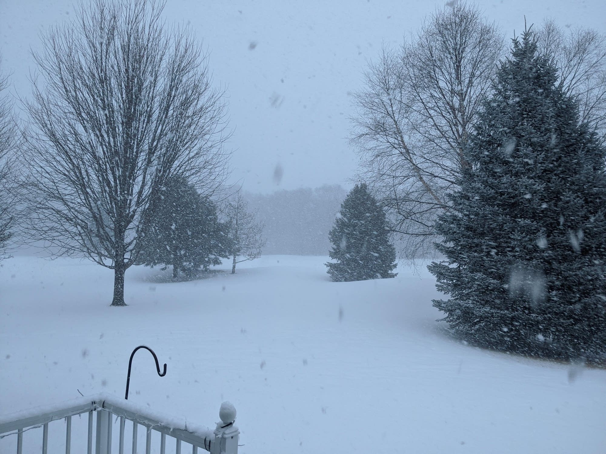
The cold front sweeping across Minnesota Monday night is driving bands of heavier snow as it blows through. Heavy snow is falling at the Huttner Weather Lab in Victoria early Monday evening.
Winter weather advisories have expanded to include the Twin Cities area. Winter storm warnings have been posted due to heavy snow of more than 6 inches southwest of the Twin Cities.

Accumulating snow
Monday evening’s weather system ramped up more than many models showed Monday. The band of snow took on a springlike “convective” nature. Snowfall totals from the far western Twin Cities already show 3.5” as of early Monday evening.
Waconia [Carver Co, MN] NWS EMPLOYEE reports SNOW of 3.50 INCH at 5:27 PM CST --
Buffalo [Wright Co, MN] PUBLIC reports SNOW of 3.80 INCH at 5:35 PM CST --
Monticello [Wright Co, MN] PUBLIC reports SNOW of 3.80 INCH at 4:55 PM CST --
It now appears much of the Twin Cities will pick up between 2 and 4 inches of snow by late Monday evening. As much as 4 to 7 inches will fall across southern Minnesota.
Turn Up Your Support
MPR News helps you turn down the noise and build shared understanding. Turn up your support for this public resource and keep trusted journalism accessible to all.
