Weekend thaw: Milder with little or no snow through next week?
Lamb-like early March looks favorable for spring flood forecast

Go Deeper.
Create an account or log in to save stories.
Like this?
Thanks for liking this story! We have added it to a list of your favorite stories.
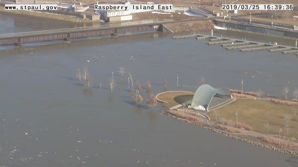
Flood risk in the Upper Midwest is like the same watched pot every spring. There’s almost always a risk of flooding somewhere. It just depends on how the variables play out.
Saturated soils and significant snowpack across the Upper Midwest means a significantly elevated chance of flooded rivers across the Upper Midwest this spring.
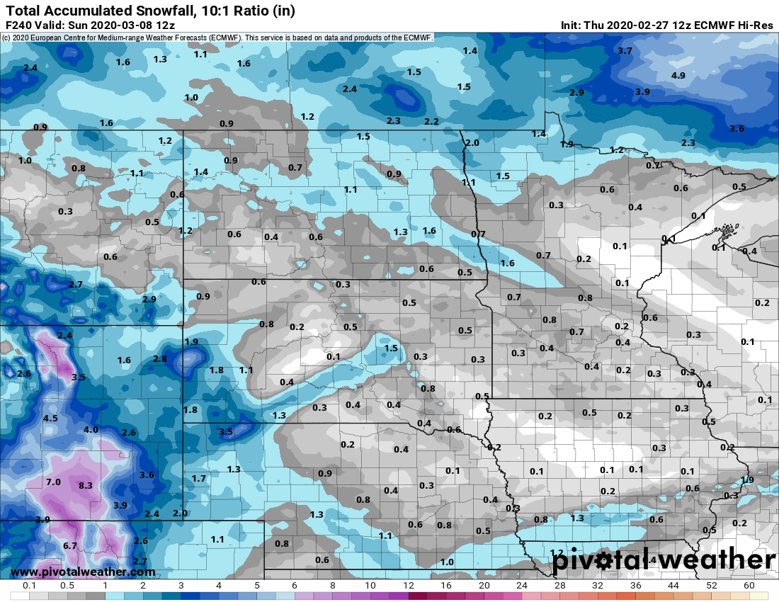
But flood forecasters at the North Central River Forecast Center in Chanhassen have to be happy with the way the weather maps look lately. The combinations of milder temperatures and little or no precipitation for about the next 9-10 days is almost ideal for mitigating early spring flood risk.
Freeze-thaw
Turn Up Your Support
MPR News helps you turn down the noise and build shared understanding. Turn up your support for this public resource and keep trusted journalism accessible to all.
Temperatures over the next week look perfect for gradually reducing snowpack across the Upper Midwest. Days above the thawing point will melt snow. Nights below freezing mean that snowmelt will gradually be released into area rivers.

Mostly rain and snow-free?
The upper air forecast maps continue to advertise a mild zonal (westerly) Pacific airflow across the Upper Midwest for the next 1-2 weeks.

That also means few, if any, significant storms. Little or no snow in the forecast is good news for keeping river-rises in check. No sign of heavy rain is even better.

Starting Saturday, most models favor highs in the Twin Cities and much of southern and western Minnesota at or above 40 degrees 4 of the following 7 days. The European model cranks out a high of 53 degrees for the Twin Cities a week from Friday.
Stay tuned.


