Monday brings the hottest weather so far this year
A few showers and storms are also moving across the state
Go Deeper.
Create an account or log in to save stories.
Like this?
Thanks for liking this story! We have added it to a list of your favorite stories.
Minnesota sees hot weather, breezy conditions and a few areas of showers and storms Monday due to a warm front moving across the state.
Monday forecast
A warm front moving across Minnesota will keep stronger winds from the south Monday, with parts of southern Minnesota seeing gusts over 20 mph at times. That warmer air pushing in already has morning temperatures in the 50s and 60s, and all but the Arrowhead is in for a hot afternoon with highs in the 80s and 90s.

Much of western Minnesota will see their first 90s of the year.
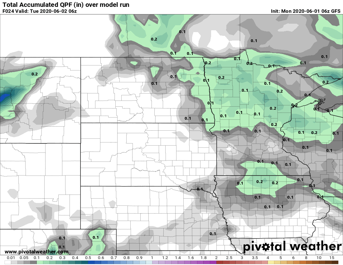
There are also a few showers and storms associated with the front, including larger bands in southern and northeastern Minnesota as of 7 a.m. Monday.

The precipitation in southern Minnesota likely diminishes through the morning, while the northern part of the state has showers and storms move across it into the afternoon. Rain totals should mostly remain light and under a quarter-inch.

While there is only an isolated chance for stronger storms Monday, the chance for severe weather increases Tuesday afternoon. That extended forecast will be updated around 9 a.m.
Programming note
You can hear my live weather updates on Minnesota Public Radio at 7:48 a.m. Monday through Friday morning.
Turn Up Your Support
MPR News helps you turn down the noise and build shared understanding. Turn up your support for this public resource and keep trusted journalism accessible to all.


