Thursday still soggy; sunshine in sight
Windy still Thursday with occasional rain and snow showers

Go Deeper.
Create an account or log in to save stories.
Like this?
Thanks for liking this story! We have added it to a list of your favorite stories.
Thursday will be our final day of significant impacts from this storm system. Rain and snow showers will continue to rotate around our slow-moving storm system. Sunshine will break out from west to east by late Friday with a warmer weekend ahead.
Last day of wet weather
This storm system is slowly crawling across Minnesota and Wisconsin. Over the past 24 hours, the central low pressure has only moved at about 7 to 8 mph east. That’s about the speed of a hurricane and the reason why we’ve had three days of precipitation.

Thursday’s precipitation amounts will be lighter, generally a couple tenths of an inch or less across Minnesota. Snowfall too, will shift more east. Parts of the North Shore around Silver Bay and Finland saw a foot or more of snow. The south shore of Lake Superior in northern Wisconsin into the Upper Peninsula of Michigan will be the focus of heavy snow.

Friday will start cloudy and it will still be cooler than normal with highs mainly in the 40s and 30s north.
Turn Up Your Support
MPR News helps you turn down the noise and build shared understanding. Turn up your support for this public resource and keep trusted journalism accessible to all.

Clouds will break up and clear by later in the day and give way to a sunny Saturday!

Highs Saturday will be in the low 50s to 40s north and we’ll be closer to 60 in southern Minnesota Sunday with the return of some cloud cover.

Tornado sirens sound Thursday
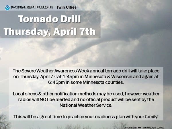
It may be far from our minds with the cold, wet weather but it is severe weather awareness week and the sirens will sound for drill purposes at 1:45 p.m. and 6:45 p.m.Thursday. It’s a great opportunity to practice finding your safe space in the event of a tornado warning at work, school and at home this evening.

Another storm next week?
Remember we’re just the messengers, but it appears yet another big storm is shaping up for the middle of next week.

This time, severe weather could get very close to Minnesota as warmer air will be present and higher dew points. Maybe we can take some solace in that each of these storms is taking a warmer, more north track as spring progresses.


