

Tuesday storm totals snowball; cold Wednesday on the way
4-8 inches fell across much of the Twin Cities region

Go Deeper.
Create an account or log in to save stories.
Like this?
Thanks for liking this story! We have added it to a list of your favorite stories.
Tuesday was that kind of a day around Minnesota.
Our Tuesday storm delivered plenty of snow to our region.
Monday evening’s short-range forecast models — including the National Oceanic and Atmospheric Administration’s NAM 3k model and the High-Resolution Rapid Refresh model — won the day over NOAA’s Global Forecast System and the European Centre for Medium-Range Weather Forecasts by predicting heavier snow bands setting up over the heart of the southern Twin Cities Tuesday.
Here are some select preliminary snowfall totals as we move into Tuesday evening.
Turn Up Your Support
MPR News helps you turn down the noise and build shared understanding. Turn up your support for this public resource and keep trusted journalism accessible to all.
Twin Cities area
Rosemount, 4.3 inches
Fridley, 4.5 inches
Golden Valley, 4.8 inches
Hugo, 5.5 inches
Stillwater, 5.8 inches
St Paul, near University of St. Thomas, 7.5 inches
Savage, 8 inches
Bloomington, 8 inches
Burnsville 8.5”
Greater Minnesota
Duluth area, 2.1 inches
Rochester, 2.5 inches
Albert Lea, 3 inches
North Mankato, 7 inches
Brule River, Wis., 7 inches
St. Peter, 8.5 inches
Additional reports will filter in. You can see the updated snowfall reports map here.
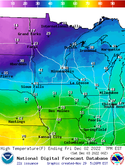
Cold next
A wintry air mass blows in behind the system Wednesday. Highs will hover in the 20s across southern Minnesota with teens up north.

We warm gently into Friday when temperatures will soar into the 40s again in the south, with 30s up north.
The next significant chance for snowfall arrives early next week. And next week likely brings another shot of colder air that could be subzero in parts of Minnesota as we move into December.


