

Deep freeze: Storm's most dangerous temps draw near
Blizzard warnings across 8 eight states now; 30s possible midweek

Go Deeper.
Create an account or log in to save stories.
Like this?
Thanks for liking this story! We have added it to a list of your favorite stories.
This is one of the biggest blizzard zones I have ever seen. See the map above.
Blizzard warnings cover parts of at least eight Midwestern states as of the post time. This is a rare combination of light fluffy snow on the ground, high winds over 45 mph, and extreme wind chills in the minus 30s and minus 40s.
Including the cities of Morris, Glenwood, Madison, Benson, Montevideo, Willmar, Granite Falls, Olivia, Redwood Falls, New Ulm, St James, and Fairmont
1139 AM CST Thu Dec 22 2022 ...WIND CHILL WARNING REMAINS IN EFFECT UNTIL NOON CST SATURDAY... ...WINTER STORM WARNING REMAINS IN EFFECT UNTIL NOON CST TODAY... ...BLIZZARD WARNING REMAINS IN EFFECT UNTIL 6 AM CST SATURDAY...
* WHAT...For the Winter Storm Warning, blowing snow expected. For the Wind Chill Warning, dangerously cold wind chills expected. Wind chills as low as 40 below zero. For the Blizzard Warning, whiteout conditions expected. Winds gusting as high as 45 mph.
* WHERE...Portions of central, south central, southwest and west central Minnesota.
* WHEN...For the Winter Storm Warning, until noon CST today. For the Wind Chill Warning, from 6 AM this morning to noon CST Saturday. For the Blizzard Warning, from noon today to 6 AM CST Saturday.
* IMPACTS...Widespread blowing snow with whiteout conditions this evening through Saturday morning will make travel nearly impossible. The dangerously cold wind chills could cause frostbite on exposed skin in as little as 10 minutes.
* ADDITIONAL DETAILS...Please avoid travel. PRECAUTIONARY/PREPAREDNESS ACTIONS... Travel should be restricted to emergencies only. If you must travel, have a winter survival kit with you with warm clothes and a charged cell phone. Tell someone where you are going, and when you expect to arrive. If you get stranded, stay with your vehicle. The latest road conditions for the state you are calling from can be obtained by calling 5 1 1. Road conditions can also be found at 511mn.org for Minnesota or 511wi.gov for Wisconsin.
Wind chill warnings are in effect and will cover most of the northern United States at some point through this weekend. Wind chills in the minus 30s and minus 40s will cover much of the Upper Midwest. The wind chill factor may hit minus 50 Friday in the Dakotas.

Your skin can freeze in minutes in these brutal conditions.
Quieter Christmas weekend
Winds will gradually ease across Minnesota Saturday. Light snow may graze southwestern Minnesota later Sunday, but weather will be quieter overall this weekend. If road crews can get a handle on things after the blizzard, travel could improve through Sunday.

Thaw next week?
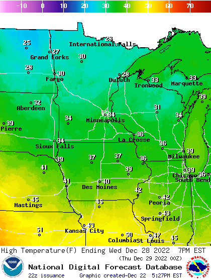
Milder Pacific air will stream into Minnesota next week. Temperatures could reach the 30s to near 40 degrees by next Wednesday and Thursday.
Stay safe out there Minnesota.
Turn Up Your Support
MPR News helps you turn down the noise and build shared understanding. Turn up your support for this public resource and keep trusted journalism accessible to all.
