More showers, thunder develop late Tuesday; steamy, unsettled week
Temperatures will be 10 to 15 degrees above normal

Go Deeper.
Create an account or log in to save stories.
Like this?
Thanks for liking this story! We have added it to a list of your favorite stories.
After lingering morning showers fizzle out we’ll see midday sunshine and more thunderstorms developing later in the afternoon and evening Tuesday. Temperatures will be near 90 this week and continued unsettled patterns.
Stormier setup this week
The center of the upper-level ridge of high pressure that gave us sunshine and dry weather the last several days has shifted east, setting us up on the more unsettled west side of the ridge.

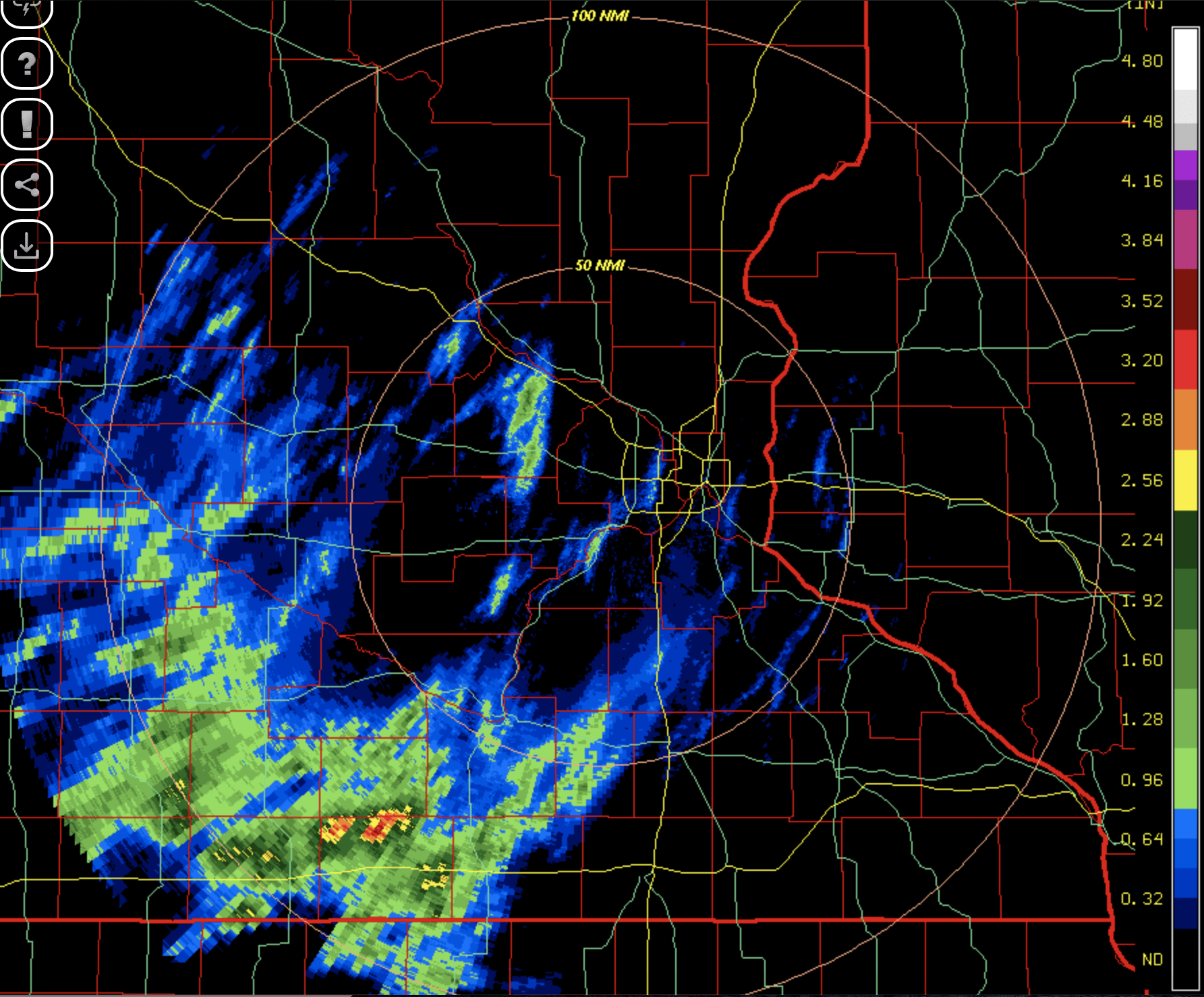
This allows each wave disturbance to touch off some at least spotty showers and thunder. We saw our first cluster of activity early Tuesday. While most saw relatively light rainfall amounts, some areas around Fairmont and Windom in southwestern Minnesota saw up to 1 to 3 inches of rain.

We’ll see some midday sun Tuesday with temperatures warming up well into the 80s.
Turn Up Your Support
MPR News helps you turn down the noise and build shared understanding. Turn up your support for this public resource and keep trusted journalism accessible to all.

That daytime heating will lead to the development of scattered showers and thunderstorms late Tuesday afternoon into evening.

There’s a marginal risk of some storms becoming severe with the main threat being some isolated large hail.

Hotter, more humid through the weekend
We continue to be very warm to downright hot the rest of this week with highs in the upper 80s and even near 90 into the weekend.

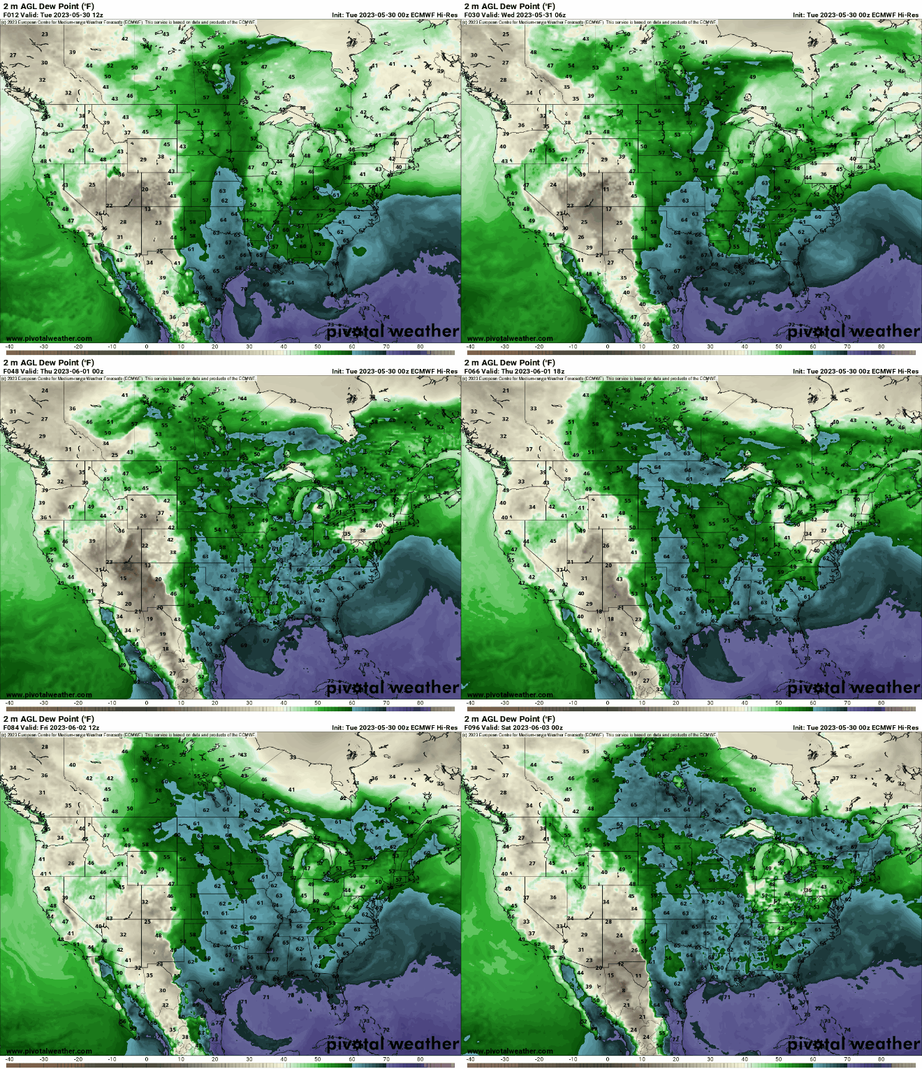
In addition to the temperatures, which will be about 10 to 15 degrees above normal, we’ll have muggier dew points move in by late Tuesday and stick around through the week.

The combination of the shift in our upper-level atmospheric pattern along with higher dew points will all lead to an unsettled pattern with at least spotty or isolated thunder possible each day into the weekend.


