Deluge: Rainfall totals now over 5 to 6 inches locally
Duluth area sees heaviest rainfall since 2012 flooding

Go Deeper.
Create an account or log in to save stories.
Like this?
Thanks for liking this story! We have added it to a list of your favorite stories.
The inches keep on adding up across eastern Minnesota.
About two month’s worth of rain has fallen in the past 72 hours at many locations. As of this post, several locations have recorded 1 to 3 inches of rainfall again Monday.
Add that to the weekend rainfall totals and we now have some locations that have recorded 5 to more than 6 inches of rainfall in the past 72 hours.
In the map above, you can see several locations in the western and northern Twin Cities have seen more than 5 inches of rainfall. Nearly 6 inches has fallen around St. Michael in the northwestern Twin Cities and near Victoria in the southwestern Twin Cities.
Learn how to have civil, political conversations with our e-book Talking Sense
Political debates with family or friends can get heated. But what if there was a way to handle them better?
Download our free e-book, "Talking Sense: Have Hard Political Conversations, Better," and learn how to talk without the tension.
5 to 6 inches around Duluth
I’m waiting for final confirmation, but it appears some locations around Duluth and Two Harbors have recorded the heaviest rainfall in more than 11 years, since the great Duluth flood of 2012. Rainfall totals between 5 and 6.58 inches have been recorded east of Duluth.

Lighter rain Tuesday
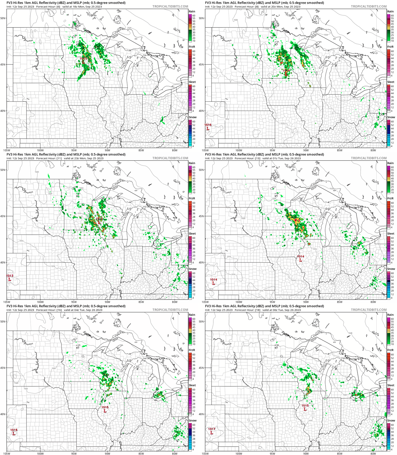
Tuesday brings a few more scattered showers, but overall rainfall intensity will drop off as the low-pressure system slides eastward.

Summerlike temperatures return later this week. I expect highs into the 80s again across southern and western by Friday and into the upcoming weekend.

And summerlike weather is in no hurry to leave Minnesota this year.
The National Oceanic and Atmospheric Administration’s outlooks favor warmer-than-average temperatures overall as we move into October.


