Mild weather returns on Sunday with continued sunshine
Early March storm system on the horizon

Go Deeper.
Create an account or log in to save stories.
Like this?
Thanks for liking this story! We have added it to a list of your favorite stories.
Warmer temperatures are expected for Sunday, with highs returning to the mid-40s under sunny skies. However, our focus will shift to a storm system mid-week, which is forecast to impact a large portion of the Central Plains.
Another cold night is on the way, with temperatures dropping into the teens across central and southern Minnesota. Northeastern areas can expect single digits, both above and below zero.

After a chilly start on Sunday, temperatures will climb back into the mid-40s, with the 50s returning for southwestern Minnesota. The Arrowhead region will see temperatures hover around freezing.

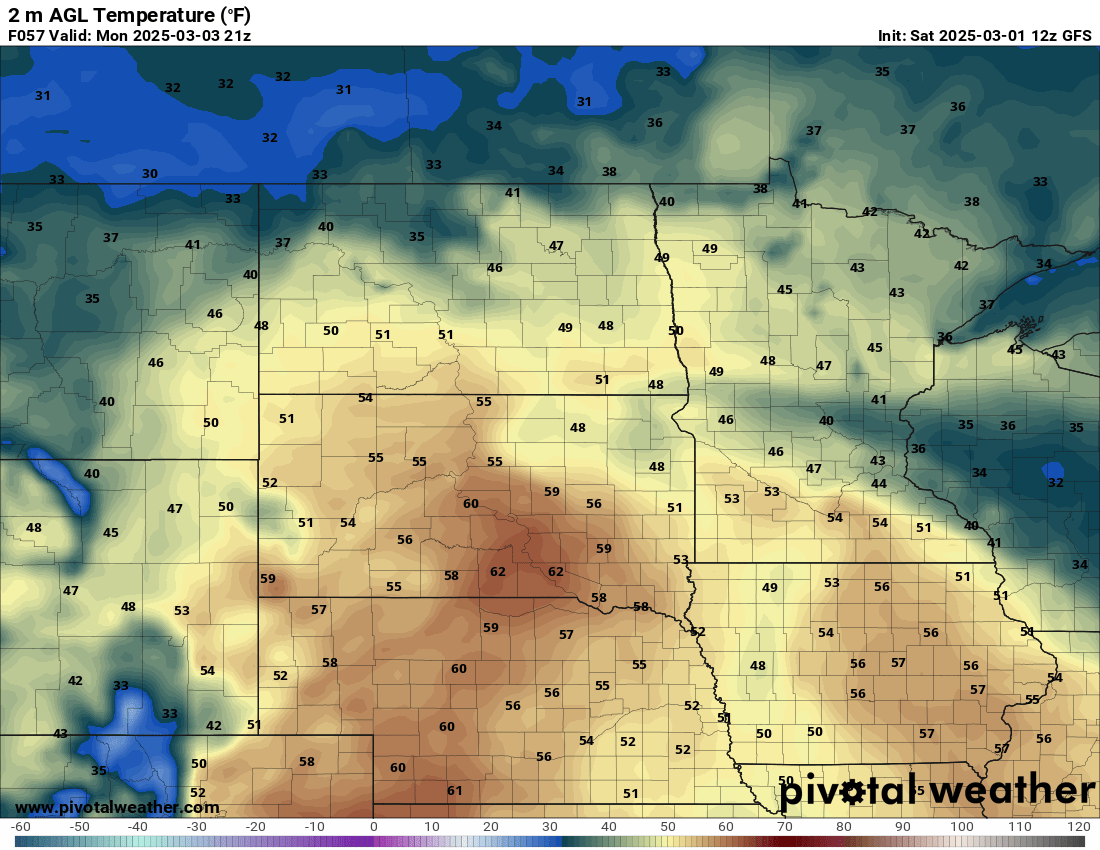
Southerly winds will return, quickly warming things up as the work week begins. Southern Minnesota will see temperatures once again warm into the 50s.
Turn Up Your Support
MPR News helps you turn down the noise and build shared understanding. Turn up your support for this public resource and keep trusted journalism accessible to all.

Midweek storm system
A powerful weather system is set to impact the region from late Monday through Tuesday and Wednesday. With temperatures hovering around freezing, the timing and type of precipitation remain uncertain.
On Monday night, the system will bring scattered rain showers, which will become more widespread by Tuesday.
As colder air moves in, the rain will transition to snow, but the exact timing and snowfall amounts are still being monitored and will require further observation.


